The Grand Canyon Rim to Rim to Rim is an ultra running challenge consisting in running from one Rim of the Grand Canyon to the other and back. Distance and elevation gain vary on trail selection. I started on the North Rim and followed the North Kaibab trail down to the Colorado River and then up the South Kaibab trail and back, for a total of 42 miles and 21,000 feet of elevation change. It is not as bad as it sounds since only half of that is uphill. The downhill though has its own set of challenges, with steep and rocky terrain. It normally takes people 3-4 days to hike it. But because of both lack of time and the beauty of seeing it all in one go, I decided to run it.
"The best months to run the Grand Canyon are October–November and March–April, when temperatures are cooler and trail traffic is minimal. The summer months, when temperatures can rise to 110 degrees in the bottom of the canyon, are out of the question." (cit. Brian Metzier's 2011 article on Runner's World.) I would have happily avoided the heat of the summer but my wife's family decided to take a trip with us to the North Rim in August, despite my advise not to. And it would have been a pity to sit quietly on the North Rim without going to explore. So I had to brave the heat. But high temperatures are not the only weather issue in August, thunderstorms are another danger.
I started with daylight, just before 6am, going down the North Kaibab trail. This is a bit later than the time when most people start hiking (around 3-4 am) but it allows making the most of daylight. The vistas are amazing all the way along. Although this is not a race you are supposed to move quickly to make the return journey in a reasonable time, yet it's impossible not to stop time and again to enjoy the breathtaking landscapes. My wife, Palas, ran with me down to the bottom of the canyon. Then we split, she went back to the trailhead to meet her family, while I crossed the Colorado and continued on the other side.
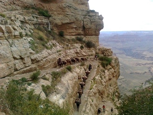
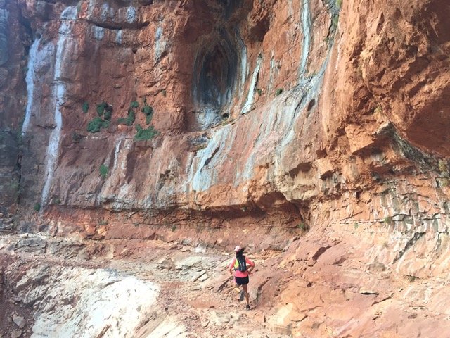
The uphill with the rising temperatures was tough. It's only 7 miles up, but the trail is rugged and, with around 5000 feet of elevation gain, merciless in the hottest time of the day, as it has virtually no shade at all, making exception for small cracks in the rock. Seeing so many people, especially close to the trailheads makes you forget that you are in a very wild place. At about half way through, you see very few people and start thinking you maybe the only one on the trail and what if such and such happens. That's when I started feeling the effects of dehydration, despite being getting lots of electrolytes. I started feeling dizzy and nauseous. Yet, when you are out there, there's no other option but to keep going. I hoped I was approaching the top. At some point I overtook a mule train, which was very encouraging as I was going at least faster than a mule's pace. Then I started seeing more and more people, meaning I was getting close to the trailhead. Before I knew I was at the top.
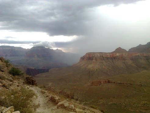
After refilling my water bottles and reservoir, I turned around and made my way down. It felt so nice to be descending quickly what costed me so much to climb up. I felt like a gliding bird. As I took a selfie with the South Rim in the background though, I realized that the sky had turned dark and that a weather system was rapidly approaching. So I started running faster not to be caught by the storm. Soon after, I saw a lightning bolt falling near by and then I heard a thunder resonating powerfully in the Grand Canyon. It was so loud, it felt it had broken rocks apart. And then there was one after another. There was nothing else I could do but making progress ahead. The North Rim looked better. Actually, after a turn I realized I was looking in the wrong direction, the North Rim looked worst. And Palas would have been right in the middle of it. I felt really bad for having put her in this situation. But who knows, maybe she was even enjoying it. Anyways, as the Spanish saying goes: "Al mal paso hay que darle prisa", so I went faster. By the time I reached the bottom of the canyon the weather situation had improved towards the North Rim. I refilled my water bottles at Phantom Ranch and met some hikers who had seen me going up South Kaibab and were confused by seeing me down again. I explained them what I was doing and they got even more confused, but perhaps also a bit inspired. The section to Cottonwood campground is very runnable but it was really hot and humid after the rain. The lush vegetation here contrasts with the desert environment on the South Kaibab trail. When I crossed a creek with clean, cold water I couldn't resist the temptation of drinking straight from it, despite having a filtration system and having enough water with me anyways. Surely water must taste great and should be uncontaminated in this pristine setting… Then I remembered I was just downstream of Cottonwood campground. I only hoped to be okay and make it back. In fact, I started having stomachache straight after, but maybe it was self-suggestion, or maybe too many energy bars. Energy bars, dammed! We prepared lots of good –real- food the night before, only to forget it in the car trunk for the rush of leaving early!
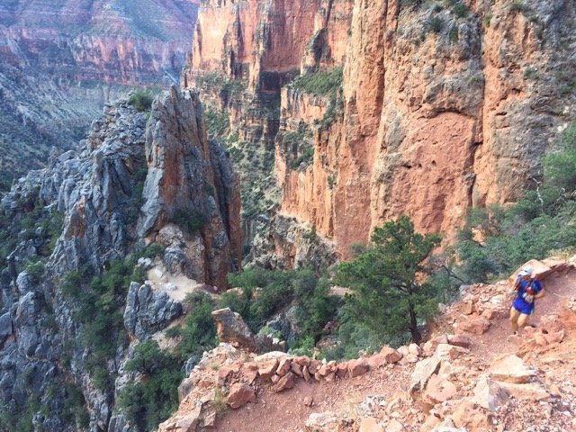
Not long after Cottonwood campground the trail steepens up and enters the most impressive part of the rock formations, those that are so much admired from the South Rim. Motivated by the vistas and by the desire of seeing my wife and her family, the uphill along the North Kaibab felt almost easy. I reached the North Rim after 13 hours and a half.


